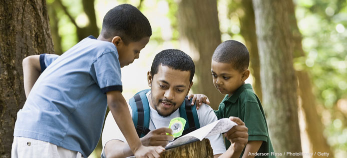
The next time you go camping, practice your mapping skills by drawing your campsite.
What You Need
- Crayons
- Paper
What You Do
- Make a List Make a list of everything in your campsite (tent, picnic table, campfire, hammock, big tree, etc.)

- Draw a Map
- Draw a map that shows where everything on your list is in relationship to each other. Don’t worry about the proportions, just draw what you see.
- Use certain objects as reference points. Start with your tent, for example, and then draw other things in your campsite in relation to your tent.
- Talk About Maps
Explain to your child that a map is a drawing that tells you about a place. Maps have different parts, such as landmarks (something that is easy to find), symbols (small drawings that represent certain objects of places), and legends or keys (they explain what the symbols are).You can introduce compass directions and tell your child which way is north, south, east, and west in relation to your campsite.
- Ask your child:
- How could this map be helpful? (It helps us find our way around our campsite. We could show the map to someone at home and they would know what our campsite looked like.)
- What makes a good map? (A good map is accurate—it shows the correct location of places—and it is easy to read).
- Are all maps meant for the same purpose? (No, some maps show the correct route to get from one place to another. Other maps show where places are located in relation to one another.)
